GIS and Remote Sensing Lab, Estación Biológica de Doñana (EBD), CSIC
LAST-EBD is a central service of the Doñana Biological Station that can be used by all the staff, and whose chief mission is to provide access to remote sensing data, digital cartography, and training in GIS use to EBD staff. We provide technical expertise in the ways in which GIS techniques can be used in research and resource management projects that require spatial data. We centralize the access to digital cartography, mainly of Andalusia, but also of other areas of Spain and the World.
Website
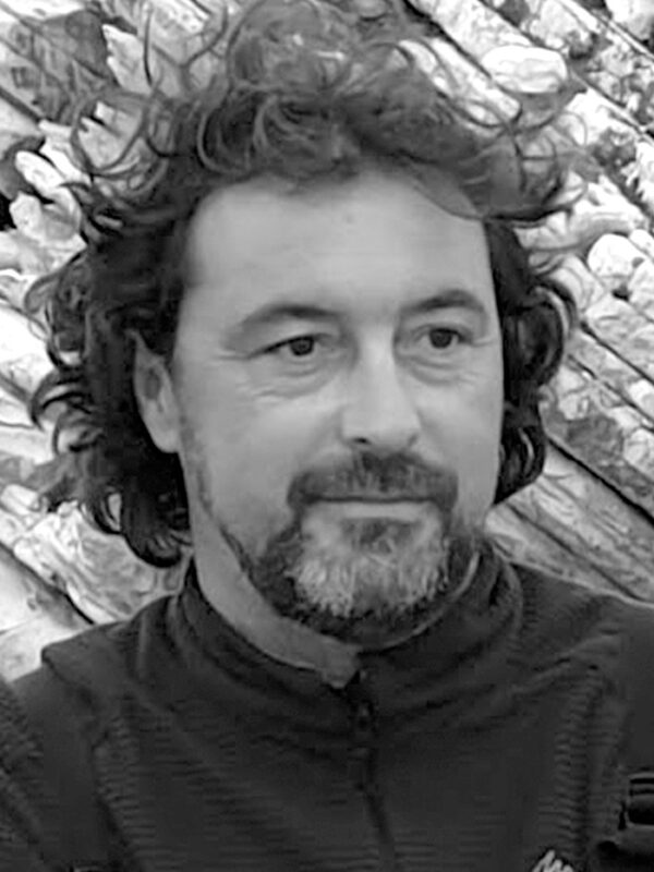
Ricardo Díaz-Delgado Hernández
Position: Researcher


He is currently working at the Doñana Biological Station sited in Sevilla, leading the Environmental Monitoring Team and the Data and Metadata Team of ICTS-RBD. He also leads the Long-Term Ecological Monitoring at Landscape Scale of Doñana Protected Area. He has been the National Coordinator of the Spanish Long-Term Ecological Research network LTER-Spain for 6 years and he’s involved and leading different research projects at European and national level. His research focuses on the application of remote sensing and spatial information systems to ecological monitoring, especially of disturbance processes and biological conservation.
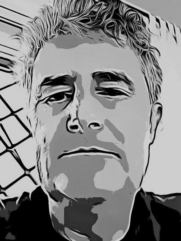
Javier Bustamante Díaz
Position: Scientific Investigator

Degree in Biological Sciences from the Autonomous University of Madrid 1988 and PhD in the speciality of Environmental Biology in 1990 from the same university. I am a field ornithologist specializing in birds of prey who has been moving toward mathematical models of species distribution, the use of remote sensing for the study of environmental changes and information and communication technologies for the monitoring of threatened species. I have worked with bearded vultures in the Alps, with penguins in Antarctica and with Guanacos in Patagonia. But my long-term studies have focused on a small colonial falcon, the lesser kestrel.
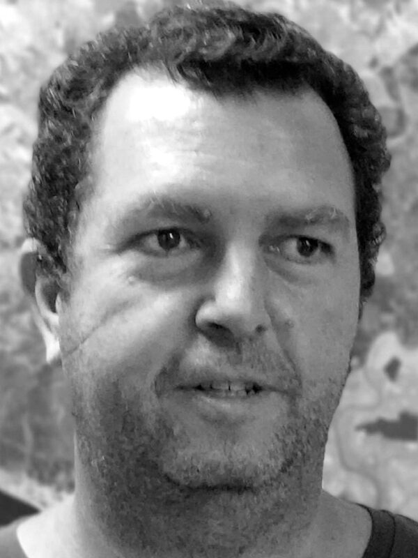
David Aragonés Borrego
Position: Technician


He is the Technical Head of the Remote Sensing and GIS Laboratory (LAST-EBD). He holds a master degree in remote sensing applications on forest management. He’s currently running his PhD in Geography by U. of Seville. His research focuses on the use of remote sensing and GIS to monitoring of wetlands and forests, especially on land surface phenology.
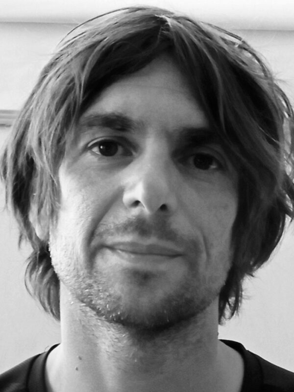
Diego García Díaz

He holds a degree in Geography from the University of Granada, an Expert in Geographic Information Systems (GIS) from the International University of Andalusia, and a Master’s degree in Spatial Planning and Local Development from the University of Seville. Currently, he has a contract as a Technician Degree in Doñana, linked to the LifeWatch ERIC-SUMHAL project. Previously, he worked in the Doñana Natural Area, on issues related to water and the flooding of the marsh. He is interested in the automation of GIS and Remote Sensing processes programmatically, mainly in Python. Currently, his work focuses on obtaining phenological metrics with Sentinel-2 images and offering them as a service using Google Earth Engine and Geemap technologies.
Pedro Gómez Giráldez
Position: Post-doctoral researcher


He has a PhD in Dynamics of Biogeochemical Flows and a Masters in Environmental Hydraulics and Forest Engineer. His area of work is remote sensing applied to hydrological models. Specifically, for this project data are being collected and processed on water flows (evapotranspiration) and carbon (fixation) through vegetation, wetlands and soils of Donana through flow towers (Eddy-Covariance technique) At the same time, models of estimation of these flows are being applied from products derived from remote sensing images (satellite, aeroporated and dron) that will be contrasted with the data obtained in by the towers as a validation.
Back
