GEO-environmental Processes in FOREST Areas – GEOFOREST, IUCA, UZ
GEOFOREST focuses on the study of forest areas. Our research activity occurs at different temporal and spatial scales, combining a great variety of methods and techniques: remote and proximal sensing (satellite, UAV, field spectrometers), passive and active sensors, regional modeling, and intensive field work. Our aim is to provide an operational and rigorous response to the territorial and environmental problems of the forest areas.
Website
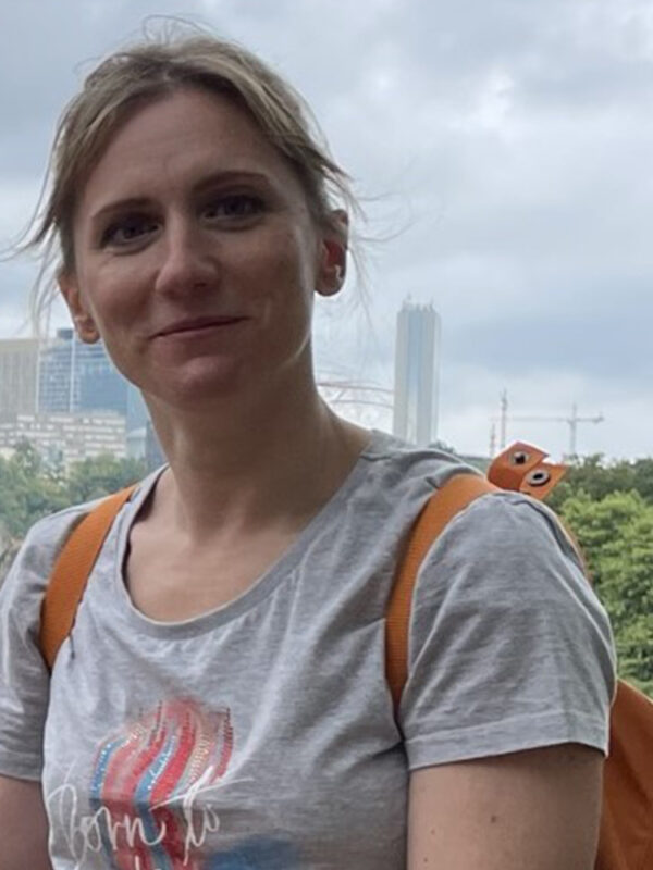
Raquel Montorio Llovería
Position: Associate Professor


Ph.D. in Geography, specialized in GIS and Remote Sensing. She is currently Associate Professor at the Department of Geography and Territorial Planning (University of Zaragoza), teaching both in the bachelor’s degree in Geography and Spatial Planning and in a master's program related to the use of geographic information technologies. As a member of the GEOFOREST research group, her main research focuses on the use of proximal and remote sensing data for environmental studies. The assessment of fire severity in Mediterranean forests along with its temporal trends and the estimation of biophysical and soil parameters from hyperspectral data are her two main research topics. She has supervised and/or co-supervised doctoral theses, bachelor´s and master’s thesis at the University of Zaragoza and participated in various research projects funded by national institutions.
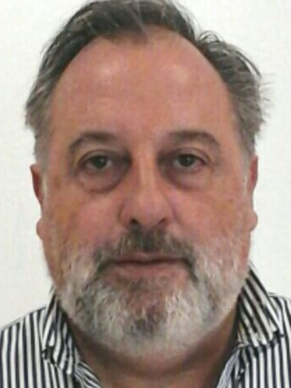
Juan de la Riva Fernández
Position: Associate Professor/Principal investigator


Associate Professor at the Department of Geography and Land Management from the University of Zaragoza and principal investigator of Geoforest research group. He is a Geographer –extraordinary awards for bachelor's and doctorate degrees– whose special research interests include GIScience and remote sensing (optical and LiDAR, UAV and satellite), forest fires, risk assessment and management, natural resources and Land Use/Land Cover dynamics, spatial planning and management of protected natural areas. He has participated in 29 research projects, being PI in 4 funded by the National R&D&I Plan, and in 24 research contracts with the Administration or with companies. He has been the director or co-director of 9 doctoral theses already defended and of numerous master's and bachelor's degree thesis.
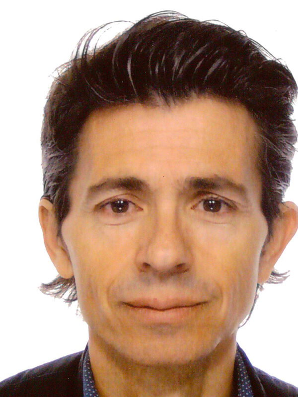
Fernando Pérez Cabello
Position: Senior Lecturer


Ph.D. in Geography and currently serves as a Senior Lecturer in Geography at the Department of Geography and Territorial Planning, University of Zaragoza. He teaches in the Bachelor's Degree in Geography and Spatial Planning and in Master's programs related to spatial planning and the use of geographic information technologies at the University of Zaragoza, and has supervised and/or co-supervised doctoral theses, bachelor´s and master’s theses. He is a member of GEOFOREST (Geo-environmental Processes in Forest Areas), affiliated with the University Institute of Research into Environmental Sciences of Aragon, IUCA. Additionally, he is a member of the Spanish Association of Remote Sensing (AET). His research is primarily focused on Remote Sensing, Environmental Science, Vegetation and Forest Ecology, and Land-Use Management. His specific areas of expertise include post-fire vegetation recovery monitoring and the retrieval of bio-geophysical parameters from forests.

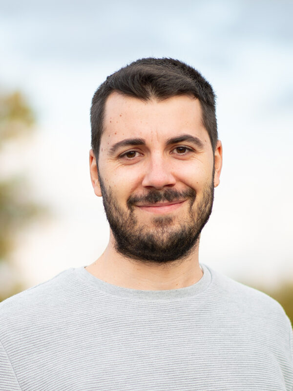
M. Teresa Lamelas Gracia
Position: Associate Professor


PhD in Darmstadt University of Technology (TU Darmstadt) in co-supervision with the University of Zaragoza (Unizar) with the main research topic geo-resources and geo-hazards mapping and sustainable land use decision using spatial decision support systems. She started her research activity (Degree, Master) in a different topic, devoted to postfire recovering and land cover mapping by Geographical Information Technologies. This research topic was taken up in 2012 when she obtained a full-time position at Unizar and became a member of the GEOFOREST research group. Since September 2012 she develops her activity at Centro Universitario de la Defensa de Zaragoza, where she teaches GIS and Remote Sensing, focusing her research to the use of LiDAR sensors in forestry applications. In addition, she collaborates as lecturer of remote sensing at the Master in GIS and Remote Sensing from Unizar and the Master Thophee at TU Darmstadt. She has supervised and/or co-supervised doctoral theses, bachelor´s and master’s thesis at Unizar.
Darío Domingo Ruiz
Position: Posdoctoral researcher Margarita Salas


Posdoctoral researcher Margarita Salas from University of Zaragoza pursuing his research at University of Valladolid (host institution). He is a Geographer interested in the use of Geographic Information Tools for environmental, land-change and urbanization studies. His research focus on characterizing the dynamics of forest ecosystems using remote sensing techniques and machine learning. He uses 3D LiDAR and UAV data together with passive sensors to support sustainable forest management. He is also interested in exploring LULC changes to develop future projections considering climate change and socio-economic scenarios. He has participated in sixteen research projects and obtained funding in competitive calls. He has lectured in University of Zaragoza, Technische Universität Darmstadt, and University of Valladolid supervising and/or co-supervising bachelor’s and master’s thesis.
Raúl Hoffrén Mansoa
Position: Predoctoral researcher


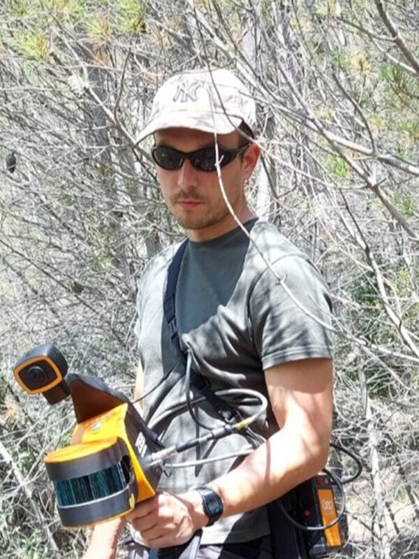
Geographer specialized in GIS and Remote Sensing from the University of Zaragoza. He is currently working on his PhD Thesis under the supervision of Dr. Juan de la Riva and Dr. María Teresa Lamelas. His main research focuses on the evaluation of new remote sensing technologies to improve the estimation of vegetation structure in Mediterranean forests applied to forest fuels. To this end, he is working with different LiDAR sensors attached on satellites (e.g., GEDI), aircrafts (e.g., PNOA), unmanned aerial vehicles (UAVs), and handheld mobile laser scanner systems, and also with photogrammetry and multispectral imagery obtained with UAVs. He also does research on microclimates in collaboration with the Pyrenean Institute of Ecology (IPE-CSIC), specifically on the identification of microclimatic refugia for biodiversity in mountainous areas, using miniaturized field sensors, thermal imageries from satellites and unmanned aerial vehicles, and LiDAR data at different scales.
Cristian Iranzo Cubel
Position: Predoctoral researcher


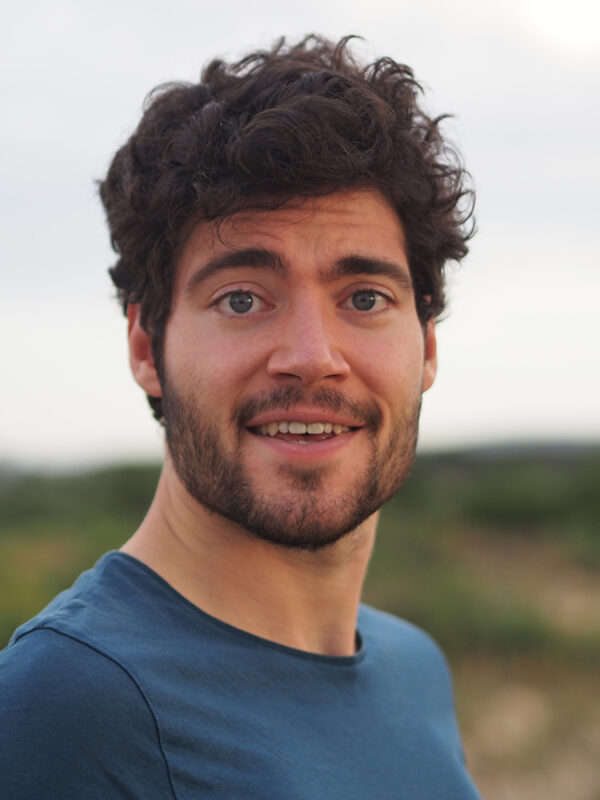
Geography and Spatial Planning graduate from the University of Zaragoza, excels as a GIS and Remote Sensing researcher. With expertise gained at the Complutense University of Madrid and the University of Zaragoza, he focuses on developing open-source applications for processing remote sensing images. His impactful work extends to archaeology, agriculture, and forest management. A notable achievement is the creation of a web application dedicated to digitizing cultural heritage in the United Arab Emirates. At the Institute of Heritage and Humanities, he pioneered open-source image correction methodologies and treatments for detecting archaeological remains, providing a web viewer for project dissemination. Currently pursuing a doctoral degree, Cristian's research delves into acquiring remote sensing-derived products using cutting-edge Artificial Intelligence models based on neural networks, showcasing his commitment to advancing geographical knowledge through technological innovation.
Back
