Geomatics and Cartographic Engineering (GEOINCA), Universidad de León
GEOINCA is a multidisciplinary research group that apply geomatic techniques (GIS, remote sensing, and GNSS). This research group is a Consolidated Research Unit 368 in Earth and Water Sciences accredited by the Junta de Castilla y León (Regional Government). The lines of work include agriculture and forestry, and mining resources, as well as construction, civil engineering, and heritage conservation. The proximal sensing research lines are focused on soil characterization and plant monitoring (mainly agricultural and forestry products).
Website
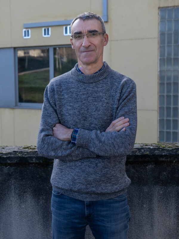
José Ramón Rodríguez-Pérez
Position: Professor/Researcher


Full Professor at the Universidad de León (Spain) and investigator of GEOINCA (Consolidated Research Unit 368 in Earth and Water Sciences). He is a Doctor in Agronomy whose special interest is the use of geomatics for agricultural, forestry and environmental applications. His main research field is the proximal sensing applied to vegetation, soils, crops, and natural resources. He has coordinated research projects, supervised doctoral theses, bachelor and master’s thesis, focused on remote sensing and geomatics.
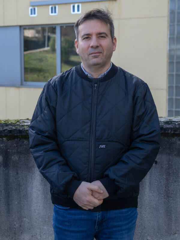
Enoc San Ablanedo
Position: Professor/ Researcher


Enoc Sanz Ablanedo is a Geology graduate with a PhD in Mining Engineering. Currently he is an Associate Professor at the University of León, and he has focused the past decade on instructing Geodesy and Photogrammetry while actively contributing to innovation, dissemination, and training activities. His research is centered on photogrammetry with drones and is marked by advancements in topographic surveying methods, applications in precision agriculture, digital twin creation, and exploration of mining resources. Notably, he prioritizes the practical application of his findings, engaging in prototype design projects, patent publications, and the development of new applications.
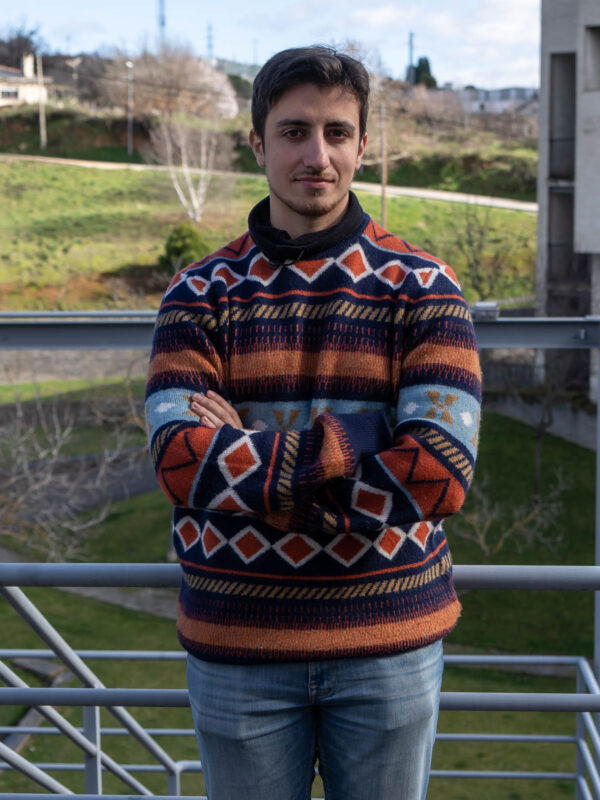
Iván González Pérez
Position: Support technician

Support technician at the Geomatics and Cartographic Engineering (GEOINCA) research group. He has a degree in forestry and natural environment engineering and a master’s degree in geoinformatics. His main research field is the use of spectroscopy data combined with programming for automatic classifications. He has also worked in photogrammetry and remote sensing projects related to mining waste dump evolution and automatic land cover classifications.
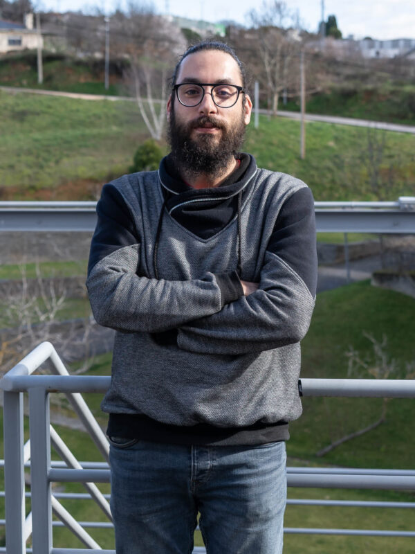
Samuel González Tejedor
Position: Support technician

He is a technical specialist in computer programming. He currently works as a research support technician at the University of León (ULE) and member of the GEOINCA research group.
Back


