Environmental Geology, Quaternary and Geodiversity (Q-GEO), Universidad de León
Q-GEO research group works with spectroscopy of satellite, airborne and ground sensors images, interpreting the spectra obtained to reveal mineral and geochemical information that can be applied in the exploration of the Earth’s surface. Analysis of spectroscopic information allows to characterize the mineral composition, obtaining valuable information for their geochemical classification, geological and geomorphological mapping of both natural and anthropic landscapes.
Website

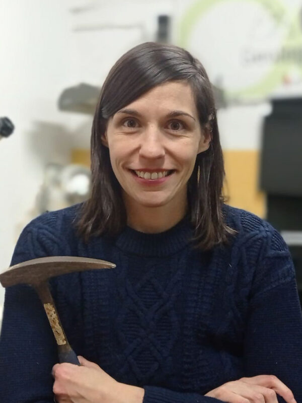
Juncal A. Cruz Martínez
Position: Assistant Professor


Assistant Professor at University of León since 2021 and research team of Q-GEO since 2020. Her teaching activities at University are related to geology and geographic information technology. She is a Geologist whose research is focused on chemical characterization of all kinds of materials. She has a Master's degree in Environmental Geology and Soils from Complutense University of Madrid. Her PhD thesis was a study about geochemical proxies obtained from a North Spain speleothems though diverse spectroscopic and spectrometric techniques. She has participated in several projects funded by national or European institutions. Currently, one of those is DIGIS3, in which Q-GEO group provides to companies involved exploitation and extraction of rocks, additional and useful data with technologies based on remote sensing and VNIR-SWIR laboratory reflectance spectroscopy. At present she is focused on characterization of geochemical information of minerals and rocks with laboratory reflectance spectroscopy and analysis of these data with chemometric methods.

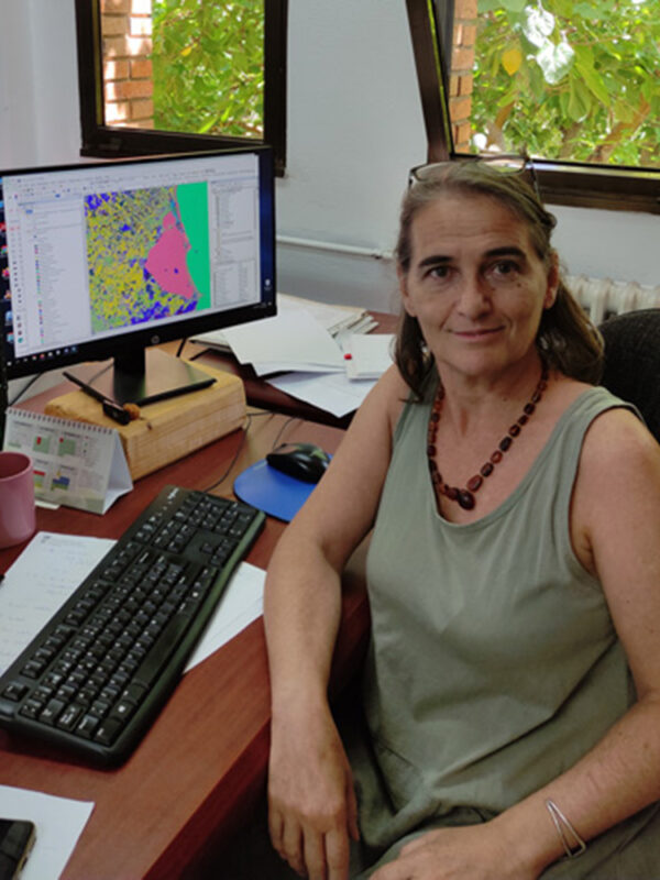
Montserrat Ferrer-Julià
Position: Associate Professor


Physical geographer focused on the use of GIS and remote sensing in Hydrology after her Master of Science degree in Watershed Management in the University of Twente (Faculty of Geo-Information Science and Earth Observation – ITC) and her PhD at the Universidad de Salamanca (Spain). She has worked in Public Administration, enterprises and different Spanish universities and has participated in European and national research projects. She is a full-time Associate Professor at University of León since 2018, teaching subjects related to GIS, remote sensing, floods, and water resources. After her incorporation in the Q-GEO research group, she has been involved in the use of remote sensing to estimate irrigation water needs, as well as to identify mineralogical characteristics of geomorphological mapping units with the support of VNIR-SWIR laboratory reflectance spectroscopy. She is interested on analysing the scope of these techniques into archaeological studies, too.
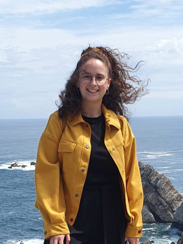
Inés Pereira Rodríguez
Position: Predoctoral Fellow


Predoctoral Fellow at the University of León since 2021. She is an environmental scientist and a forest engineer focused on the use of GIS, remote sensing and VNIR-SWIR laboratory reflectance spectroscopy. She has a Master’s degree in Natural Hazards from the University of León. In her PhD thesis she is studying the distribution of mine wastes in torrential basins related to landforms using remote sensing techniques in Southeast Spain. She is specially focused on the study of iron minerals using multispectral sensors.

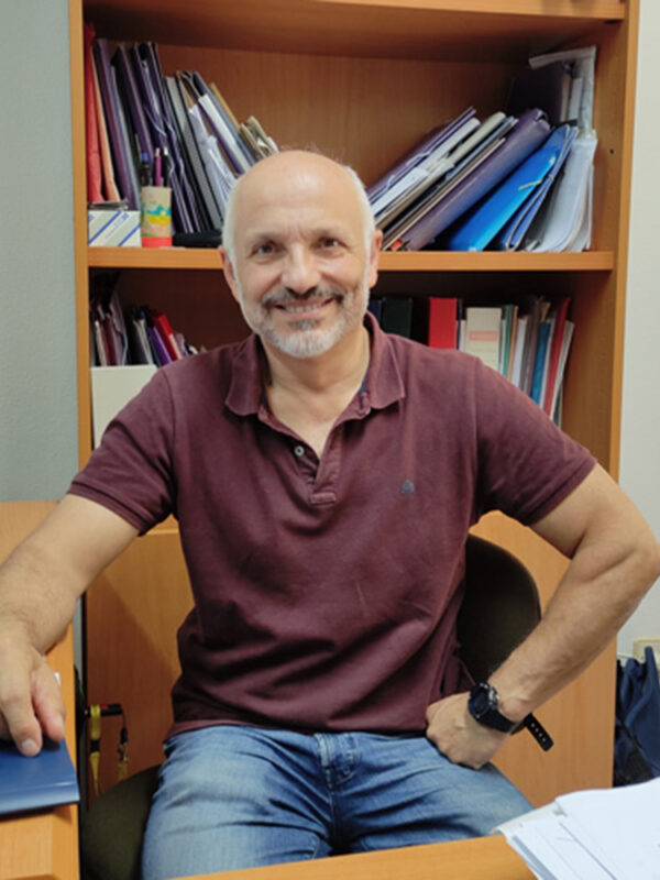
Eduardo García-Melendez
Position: Associate Professor


Geologist from the Universidad Complutense de Madrid, MSc. degree in Applied Geomorphology and Engineering Geology (University of Twente, The Netherlands, Faculty of Geo-information Science and Earth Observation - ITC) and PhD. in Geological Sciences (Universidad de Salamanca). Currently Associate Professor in the Universidad de León and head of the Q-GEO Research Group. The Main research interests are related to the use of both Remote and Proximal Sensing for the Earth surface mineralogical and landforms characterization with multi and hyperspectral sensors, Quaternary Geological and Geomorphological mapping, and Geological hazards susceptibility mapping. Participation in more than 30 competitive research national and international projects, and 11 research contracts with public administrations (Spanish Geological Survey IGME-CSIC, French Geological Survey BRGM, etc.). Director of 8 PhD Thesis (4 of them already presented). Lecturing focuses on Remote Sensing Geology, Geomorphology, Natural Hazards and GIS, in undergraduate, master and doctorate levels in the Universities of Salamanca, León and Montpellier (France-courses 2017 and 2918).
Back


