Teledetección y SIG (TYSIG). Instituto de Desarrollo Regional (IDR), Universidad de Castilla-La Mancha (UCLM)
The TYSIG group focuses on fundamental and applied research in land surface monitoring, vegetation cover development, GIS web platforms, and environmental physics. It contributes to improved agronomic water and nutrient management through applications such as estimating biomass growth and crop yield. Engaging in competitive national and international projects, the group’s research has led to two start-up and significant technology transfer.
Website
Juan Manuel Sánchez
Position: Full profesor


J.M Sánchez received his Ph.D. in physics from the University of Valencia (2008). He is Full Professor with the Applied Physics Department, and a Researcher with the Regional Development Institute (UCLM). In the last 17 years he published 55 articles in indexed journals (JCR), 21 of them in the top decile and 41 Q1. His h-index is 24 with over 1500 citations. He has also participated in 33 research projects included in competitive programs (ESA, NASA, NSF, H2020, Horizon Europe, etc) being PI in 2 National Projects (ESCLITEL and WATERSNUTS) and 2 Regional Projects (ANIATEL and PISATEL). His research line focuses on thermal remote sensing, particularly in surface energy balance, with interest in algorithms, calibration/validation activities, and environmental/agronomical applications. In the past he was involved in forest fire prediction or inland water quality assessment using satellite imagery. He accumulates 2 years of research stays abroad (CSU, JPL-NASA, ALARC-ARS-USDA, HydroLab-ARS-USDA). These fruitful collaborations with all these teams are still active.
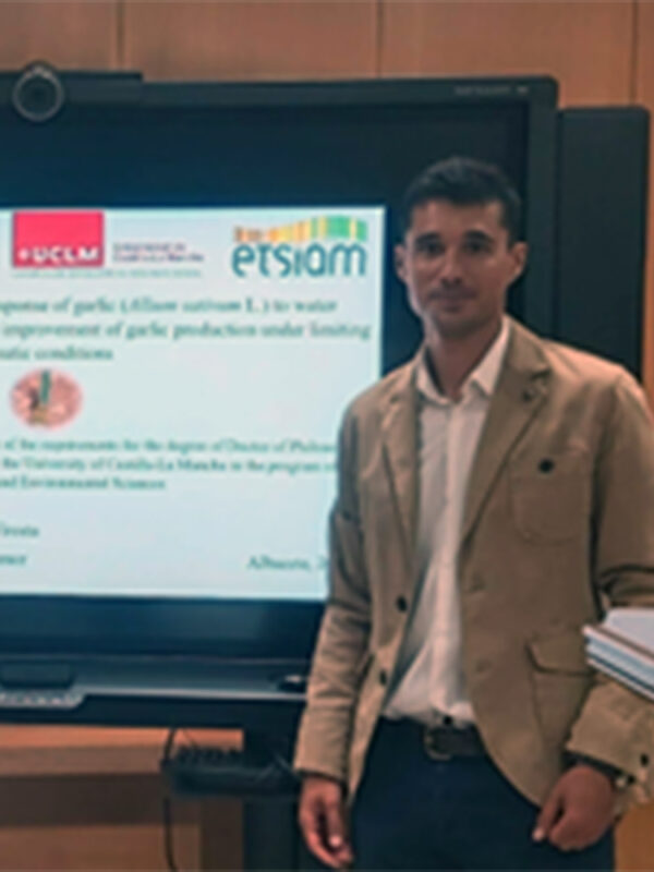
Álvaro Sánchez Virosta
Position: Post-doc Researcher
Embarking on my Ph.D. in 2016 with an FPI-INIA national grant, I explored, by remote sensing and phenotyping tools, physiological and yield performance of garlic cultivars under limiting climatic conditions. My thesis was awarded as the Best Doctoral Thesis in Engineering in Castile-La Mancha for 2019/20. During this period, I authored five Q1 journal articles, participated in international conferences, conducted farmer training, and contributed to the COST Action FA1306. As a Post-doc, I worked on irrigation and vineyard climate change adaptation and, as the Head of the Laboratory of Plant Ecophysiology and Crop Adaptation to Climate Change at IRIAF I developed a new line of low-cost phenotyping. After this, I led the Agricultural Innovation Department at Alcaliber R&D, trying to implement the Agenda 2030 to poppy crop. Since April 2023, I work in the TYSIG group at UCLM, employing cutting-edge tools for irrigation advisory in almond and pistachio, while actively engaging in global forums and voluntary grant application reviews.

José González Piqueras
Position: Full profesor
>
José González Piqueras is a Ph.D professor at the University of Castilla la Mancha. His extensive research spans the fields of Radiometry, Remote Sensing, GIS, and Micrometeorology within the UCLM. He has actively contributed to over 20 national and international competitive research projects, engaged in more than 30 contracts with various companies, supervised the completion of 4 Ph.D. candidates, and authored over 40 peer-reviewed articles. Currently, he serves as the Coordinator of REXUS (H2020 project) dedicated to implementing nexus strategies in Water-Food-Energy, and leads IRENE, a Spanish-funded project focusing water use sustainability. Acknowledged for his positive impact on transference activities from research to institutions and companies, he received recognition from the Spanish Ministry of Science in 2019. His expertise extends globally as he has been a visiting professor, conducting seminars and stays related to remote sensing, in the United States, France, Peru, and Colombia. Furthermore, Dr. González Piqueras holds the position of Director of the Applied Physics Department at UCLM.
Alfonso Calera Belmonte
Position: Full profesor
Dr. Alfonso Calera Belmonte is Professor at UCLM. He serves as Director of the Remote Sensing and GIS Group at the Regional Development Institute. His primary research focus revolves around the temporal monitoring of vegetation using multispectral image time series. The outcomes of his research are applied operationally in two key areas: (1) estimating yields and implementing agronomic water and nutrient management differentials, and (2) identifying irrigated areas and assessing water balances in expansive regions. Simultaneously, Dr. Calera engages in advancing webGIS technologies to enhance the accessibility and analysis of space-time information for end users. With a portfolio comprising over 50 scientific articles, as well as contributions as editor and author of several books and manuals, he has supervised 10 Doctoral Theses. Beyond academia, he takes an active role as a Coordinator in European projects and a Principal Investigator in Spanish National R&D Plan initiatives, collaborating closely with companies and administrations to apply research for improved agriculture and environmental protection.
Back
